Gandikota arrival options from Bangalore: road versus rail
The Bangalore to Gandikota journey is not a simple train-versus-car decision. Gandikota has no railway station in the village, and the final approach is always a road transfer. By car, the trip covers approximately 280–300 km and normally takes 5.5–7 hours.
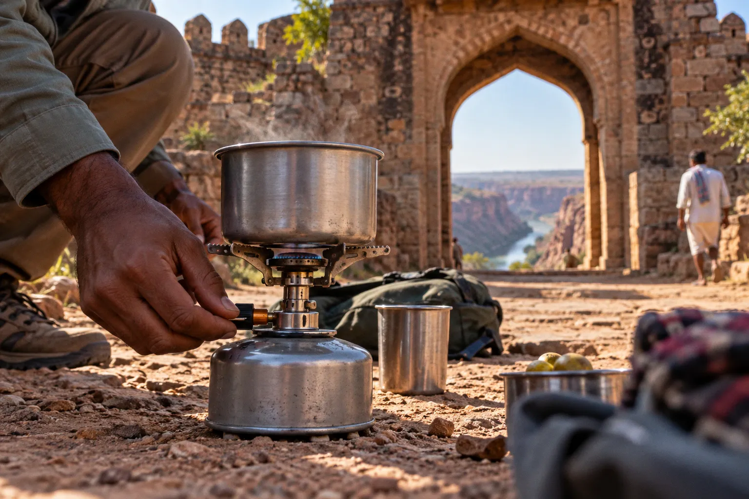
By rail, you trade direct access for a shorter main-line journey followed by a transfer from Jammalamadugu, Muddanuru, Yerraguntla, or Kadapa.
That distinction controls the entire trip. A private vehicle gives you door-to-door movement, better control over arrival time, and usable cargo capacity for camping equipment. Rail travel reduces the time spent behind the wheel but adds a transfer problem at the far end. If you are carrying a tent, cooler, folding chairs, or photography equipment, the practical advantage of the car increases quickly.
Gandikota is a road-access destination even when the first half of the journey is by train.
The correct choice depends on four variables: your group size, the quantity of gear, your tolerance for a 5.5–7-hour drive, and whether you need to reach the canyon at a specific time for sunset, camping check-in, or a guided activity.
The 300 km road route: direct access with fewer moving parts
For most independent travelers, driving is the cleanest arrival option from Bangalore. The distance is manageable for a full travel day, and the vehicle remains available after arrival. That matters in Gandikota because the fort, canyon viewpoints, accommodation, food stops, and nearby attractions are not arranged around a single transport hub.
A common route runs through:
- Devanahalli
- Chikkaballapur
- Bagepalli
- Penukonda
- Kadiri
- Jammalamadugu
- Gandikota
This route uses NH44 for a substantial part of the journey. The alternative is to continue toward Anantapur, then travel through Tadipatri and Jammalamadugu before turning toward Gandikota. This diversion is commonly considered when highway conditions and route quality are more important than following the most direct line.
Neither route should be treated as a fixed timetable. Traffic leaving Bangalore, roadwork, town crossings, meal stops, and the final approach can move the total travel time across the 5.5–7-hour range. A navigation application may display a shorter estimate under light traffic. That does not make the shorter figure a safe planning baseline.
Route selection from Bangalore
The choice between the NH44–Kadiri route and the Anantapur–Tadipatri route is operational rather than scenic.
| Route option | Main structure | Practical advantage | Planning limitation |
|---|---|---|---|
| NH44 via Devanahalli, Chikkaballapur, Bagepalli, Penukonda, Kadiri and Jammalamadugu | Long highway-led approach | Familiar highway alignment and straightforward navigation | Bangalore exit traffic can materially affect the first section |
| Via Anantapur and Tadipatri | NH44 connection followed by a route toward Tadipatri and Jammalamadugu | Often selected when better highway conditions are the priority | Adds a route-choice decision and may not be faster in current traffic |
| Rail plus local road transfer | Train to a regional station, then taxi, auto-rickshaw, or bus | Reduces the continuous driving burden | Requires coordination for the final 18–85 km |
The second route is not automatically superior. It is a tactical alternative. Check current navigation conditions before departure, then select the route based on road status and traffic rather than on a permanent assumption that one is always faster.
Timing the departure
A late start creates two separate risks. First, traffic can consume the time you expected to use on the open highway. Second, arrival at Gandikota may occur after the useful daylight period. That is relevant if your plan includes locating a campsite, checking into accommodation, walking to a canyon viewpoint, or arranging a local transfer.
For a day drive, build the schedule around the upper end of the travel estimate. Treat 7 hours as the planning number, not the best-case number. Add time for fuel, food, navigation corrections, and unscheduled stops. A vehicle that reaches Gandikota with a low fuel reserve and no daylight margin is not efficiently planned.
Before leaving Bangalore, confirm:
- The destination pin is the actual accommodation or fort area, not only the Gandikota village label.
- The chosen route still reflects current traffic and road conditions.
- Fuel and food stops are available along the selected alignment.
- Every passenger has water accessible inside the cabin.
- Camping equipment is secured and cannot shift during braking.
- The driver has a second navigation option if mobile coverage or routing becomes unreliable.
The last point is basic field practice. Do not place total dependence on a single phone, a single charging cable, or one driver’s memory of the route.
Rail connectivity: useful, but not direct
Rail travel from Bangalore can work, but Gandikota itself is not the rail destination. The train takes you to a regional station. The journey is completed by road.
Jammalamadugu is the closest station, approximately 18 km from Gandikota. Muddanuru is another access point at roughly 26–30 km. Yerraguntla is the nearest major railway junction identified for the area and is approximately 47 km away. Kadapa is farther, around 77–85 km from Gandikota, but may become relevant when train availability or onward transport is better.
The distances are short compared with the Bangalore leg. They are not insignificant once luggage, arrival timing, vehicle availability, and local road conditions are included.
Station comparison
| Railway access point | Approximate distance to Gandikota | Best use case | Main drawback |
|---|---|---|---|
| Jammalamadugu | 18 km | Primary rail choice when a suitable train is available | The final transfer still needs to be arranged |
| Muddanuru | 26–30 km | Backup station for route and train availability | Longer road leg after the train |
| Yerraguntla | About 47 km | Useful when a major junction offers a better train connection | Transfer becomes a substantial part of the trip |
| Kadapa | About 77–85 km | Contingency option when rail schedules are more favorable | Highest final-mile distance and transfer exposure |
Jammalamadugu is the logical first station to investigate. It minimizes the road transfer. However, the nearest station is not always the best operational choice if the train schedule creates a long wait or arrives outside the period when local transport is available.
Yerraguntla can make sense when it provides a more workable rail connection. The extra road distance must then be priced in time, not only kilometers. Kadapa should be treated as a wider-area access point rather than a convenient drop-off immediately near the fort.
The train is not the whole trip
The public-transport version of the journey has at least three stages:
1. Bangalore to a regional railway station.
2. Station arrival and luggage collection.
3. Road transfer to Gandikota.
Each stage has its own failure points. A train delay can break a pre-arranged pickup. A late arrival can reduce the availability of autos or local buses. A driver who quotes a low initial fare may not be available for the return journey. The exact frequency of feeder buses from Jammalamadugu to Gandikota should not be assumed without current local confirmation.
If you choose rail, organize the final transfer before boarding the train. Save the driver’s number, confirm the pickup station, and specify the destination clearly. “Gandikota” may not be enough if you need a resort, camping area, fort entrance, or a particular accommodation property.
The final mile: the part rail planners underestimate
The final 18 km from Jammalamadugu is short on a map. It is also the point at which a loosely planned rail journey becomes expensive or inconvenient.
A road transfer from a regional station should be evaluated using four questions:
- Is a vehicle confirmed for your actual arrival time?
- Does the driver know the exact property or drop-off point?
- Can the vehicle carry your luggage and camping equipment?
- Is the same vehicle available for the return journey or local sightseeing?
An auto-rickshaw may be suitable for light luggage and a small group. It is less suitable for bulky camping loads, multiple backpacks, or equipment that must remain dry and protected. A taxi is more practical when carrying a tent, sleeping system, cooking equipment, or camera cases. Local bus travel may reduce cost, but the schedule and direct availability should be confirmed locally rather than treated as guaranteed.
The transfer is easier when the group travels light. A rail itinerary with one small pack per person is a different logistical problem from a rail itinerary with a two-person tent, sleeping mats, stove, fuel, water, and food.
Gear changes the transport decision
For a hotel-based sightseeing trip, rail can be reasonable. For an outdoor trip, the vehicle becomes part of the equipment system.
A car gives you:
- Protected storage for bags and electronics.
- Space for water and food.
- The ability to carry bulky sleeping equipment.
- Control over the return departure.
- Mobility between dispersed stops.
- Less handling of luggage during transfers.
Rail gives you:
- A break from continuous driving.
- More flexibility for passengers who cannot or do not want to drive for 5.5–7 hours.
- A viable option for travelers who can keep their equipment compact.
- Access to the region even when a private vehicle is unavailable.
The decisive question is not whether rail is cheaper in isolation. It is whether the total transport chain remains simple after adding the final road leg, local movement, and return transfer.
For a camping load, calculate transport by volume and handling effort, not by ticket price alone.
Car versus train: a practical comparison
The following comparison assumes that the traveler is deciding how to reach Gandikota from Bangalore, not merely how to cover the first section of the journey.
| Parameter | Private car | Train plus road transfer |
|---|---|---|
| Door-to-door access | Direct to the selected accommodation or arrival point | No; requires transfer from a regional station |
| Main travel distance | Approximately 280–300 km by road | Train distance varies by station and service, followed by 18–85 km of road travel |
| Typical total planning window | 5.5–7 hours before additional stops | Train duration plus waiting, luggage handling, and final transfer |
| Luggage capacity | High, subject to vehicle size and load security | Limited by carrying capacity and transfer handling |
| Camping equipment | Practical | Possible, but requires compact packing and a suitable vehicle |
| Route flexibility | High; can use NH44 or the Anantapur–Tadipatri alternative | Low after the train is booked; final transfer must be coordinated |
| Local sightseeing | Easy to support with the same vehicle | Requires separate local transport |
| Delay exposure | Traffic, roadwork, and driver fatigue | Train delays plus transfer availability |
| Best suited to | Groups, campers, families, and travelers with fixed schedules | Light-packing travelers and passengers avoiding a long drive |
This table does not make rail a poor option. It identifies where rail works best. If you are traveling with a small bag, have a confirmed pickup, and select a train with a workable arrival time, the system is manageable. If you are traveling with several people and outdoor gear, a private vehicle usually removes more problems than it creates.
Bus travel and mixed transport
Public transport to Gandikota from Bangalore is possible as a combination of services, but it should be planned as a chain rather than as a single bus journey. The available fact pattern is clearer for the road and rail approaches than for a fixed direct Bangalore–Gandikota bus schedule. Do not build an itinerary around an unverified direct service.
A mixed route may involve:
- Bangalore to a larger regional city by bus.
- A second bus or train toward Jammalamadugu, Muddanuru, Yerraguntla, or Kadapa.
- A local road transfer to Gandikota.
Every additional interchange increases the number of timings that must align. This can be acceptable for budget travel when the traveler has daylight, flexible accommodation, and minimal luggage. It is a poor fit when you have a reserved camping slot, a strict check-in window, or a fixed return train.
For public transport, the strongest planning method is to choose the arrival station first, then confirm the final road transfer. Do not begin with the cheapest Bangalore ticket and attempt to solve the last 50 km afterward. That reverses the risk calculation.
When bus or rail is the better tool
Choose a public-transport combination when:
- You are traveling alone or with one companion.
- Your luggage fits into a compact backpack.
- You do not require a vehicle for local exploration.
- Your arrival time is flexible.
- You have confirmed the final transfer.
- You can tolerate schedule changes without losing a reservation.
Choose a car when:
- You are carrying camping equipment.
- You are traveling in a group.
- You need to reach the canyon during a specific daylight window.
- You plan to visit more than one site around Gandikota.
- You want control over the return departure.
- You do not want to negotiate a new vehicle at every stage.
The “best transport for a Gandikota trip” is therefore conditional. Rail is not automatically more comfortable, and driving is not automatically more efficient. The correct choice is the one that leaves the fewest uncontrolled transitions.
Planning around the Gandikota arrival window
Arrival time affects more than convenience. It determines how much daylight remains for navigation, camp setup, and orientation.
A driver arriving after a long road day should not immediately begin an extended hike with a full pack. Stop, hydrate, identify the accommodation or campsite, secure the vehicle, and confirm the route for the next movement. If the itinerary requires a canyon-edge walk, schedule it only after the arrival logistics are complete.
Rail travelers need an even stricter sequence because the transfer is outside their control. A delayed train can compress the entire arrival plan. If your transfer is not present, do not improvise by accepting an unclear ride without confirming the destination and fare. Use a known pickup arrangement where possible.
For both transport modes, carry the first layer of essential equipment inside the passenger compartment or personal bag:
- Water.
- Basic food.
- Phone power bank.
- Headlamp.
- Required medication.
- Identification and booking details.
- A light layer for the evening.
- Small first-aid supplies.
Do not bury these items under the main luggage or inside a vehicle’s inaccessible rear compartment. Arrival delays are normal enough that your immediate-use kit should remain reachable.
A route decision sequence that works
Use this sequence before booking.
1. Define the load.
Count backpacks, tents, sleeping mats, cooking gear, camera equipment, and water containers. If the load is bulky, start with the car option.
2. Set the arrival requirement.
Decide whether you must reach Gandikota before dark, before a check-in cutoff, or before a planned activity. Use the 5.5–7-hour road estimate as the baseline for driving.
3. Check the road alternatives.
Compare the NH44 route through Kadiri with the Anantapur–Tadipatri option. Select based on current traffic and road conditions, not on a permanent preference.
4. If using rail, rank stations by transfer distance.
Investigate Jammalamadugu first at approximately 18 km. Then consider Muddanuru, Yerraguntla, and Kadapa if the train schedule is materially better.
5. Confirm the final vehicle.
A rail ticket without a confirmed road transfer is an incomplete itinerary.
6. Plan the return before departure.
Confirm how you will leave Gandikota and reach the selected station or road route. Do not assume a vehicle will appear at the required time.
7. Keep a failure margin.
A journey that works only if every connection is exact is not robust. Leave time for traffic, train delay, luggage handling, and finding the correct property.
The result should be a route with a clear primary plan and a defined fallback. For a car trip, the fallback may be the alternate road route. For rail, it may be a second station or a pre-arranged taxi rather than an unplanned local connection.
Final verdict: select the transport system, not just the first leg
Driving from Bangalore to Gandikota is the more complete transport solution. The 280–300 km road distance and 5.5–7-hour travel time are substantial, but the car reaches the destination directly, carries outdoor equipment, and remains available for local movement.
Rail is viable when you deliberately accept the transfer structure. Jammalamadugu is the first station to evaluate at approximately 18 km from Gandikota. Muddanuru provides another nearby option at 26–30 km. Yerraguntla and Kadapa expand the rail search when train availability is better, but they increase the road leg.
Use the car for camping, groups, fixed arrival windows, and equipment-heavy travel. Use rail or a mixed public-transport route for light luggage, flexible schedules, and travelers who prefer not to drive the full distance.
Final departure check:
- Confirm the selected road route or train service.
- Plan for the full 5.5–7-hour road window if driving.
- Do not search for a railway station inside Gandikota; none exists in the village.
- Arrange the final road transfer before taking the train.
- Match the vehicle to your luggage volume.
- Keep water, power, medication, and navigation backups accessible.
- Verify the return journey before committing to the outward route.
- Avoid an arrival plan that depends on perfect traffic or an unconfirmed local vehicle.
Gandikota rewards a direct plan. The canyon does not compensate for a missed transfer, an overloaded backpack, or a late arrival with no transport arranged.