Mylavaram Dam to Gandikota: scenic route and travel landmarks
The most common mistake on the Mylavaram Dam to Gandikota scenic route is to treat the two places as if they were simply opposite ends of one viewpoint. They are not.
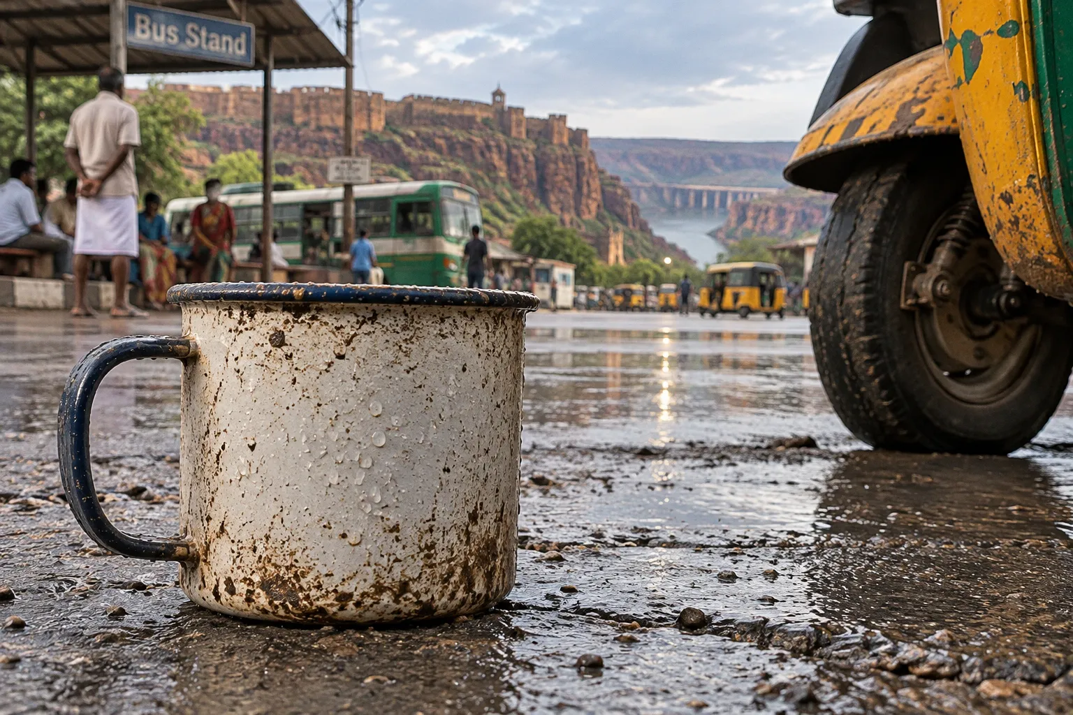
Mylavaram Dam to Gandikota: Scenic Route and Travel Tips
Mylavaram opens across the Penna River as a broad reservoir landscape, shaped by irrigation and seasonal water levels, while Gandikota narrows into the red quartzite country of the Erramala hills, where the river has cut a gorge roughly 300 feet below the surrounding plateau.
The road distance is short—approximately 10 to 16.3 kilometres, depending on the route and the point from which you leave the dam—but the change in landscape is considerable. One side of the journey is defined by embankment, scrub, canals, and open water; the other by fort walls, temple remains, cliff edges, and the tightly folded geography of the Pennar Gorge. If you plan the drive as a small transition between two attractions, you may miss the very thing that makes it worthwhile: the route explains how water, stone, cultivation, and settlement meet in this part of Kadapa district.
Navigating the 16-kilometre stretch: route, distance, and terrain
The journey between Mylavaram Dam and Gandikota is best understood as a short regional excursion rather than a single scenic road with continuous viewpoints. Mylavaram Dam lies across the Penna River, while Gandikota village and fort occupy the edge of the Erramala hill country. You are traversing a landscape that shifts gradually from reservoir infrastructure to dry scrub and then to the canyon’s broken rim.
Because the published distance varies, allow for approximately 10 to 16.3 kilometres rather than planning around one exact figure. The variation comes from the starting point at the dam, the access road you use, and whether your destination is Gandikota village, the fort complex, or a particular canyon viewpoint. A navigation app may also choose a different approach from the one you expect, especially where local roads intersect or where a route is better suited to village traffic than to a quick tourist transfer.
The most useful way to read the route is through landmarks:
1. Begin at the reservoir side, where the land is open and the dam embankment, water body, and canal infrastructure establish the scale of the Mylavaram system.
2. Leave the immediate dam zone slowly, because the first part of the drive is about orientation rather than dramatic scenery. Look for the transition from managed water infrastructure to scrub-covered land and scattered settlement.
3. Use Gandikota village as your approach marker, rather than assuming that every road sign will point directly to the fort or gorge.
4. Treat the fort and canyon as separate walking areas, even though they belong to the same destination. The fort contains architectural remains and gateways; the gorge requires attention to the cliff edge, direction of light, and the changing position of the river far below.
The road trip itinerary works particularly well when Mylavaram is visited first and Gandikota later in the day. This order gives the reservoir landscape its own time, instead of reducing it to a quick photograph before the more famous fort. It also allows you to reach the canyon with a clearer sense of the terrain that feeds into the wider Pennar landscape.
The distance is modest, but the geography is not: Mylavaram shows the river gathered into a reservoir, while Gandikota shows the same regional landscape pulled apart into a gorge.
What the road does—and does not—promise
This is not a continuously marked viewpoint road in the manner of a formal mountain pass. The scenic value comes in intervals: an exposed view across water, a stretch of reddish soil and scrub, a glimpse of the hills, then the stronger architectural and geological focus at Gandikota.
That distinction matters when you plan time. If you expect a succession of signed lookout points between Mylavaram and Gandikota, you may spend the drive searching for stops that are not formally developed. If you instead treat the route as a compact landscape connection, you can pause where access is sensible, photograph without obstructing local traffic, and reserve proper walking time for the dam surroundings, museum, fort, and gorge.
The road also belongs to an active rural and irrigation landscape. Canal access roads and embankment areas are not automatically public recreation spaces, and a promising track beside the water may lead into operational infrastructure rather than a visitor viewpoint. Stay on established access roads, follow local signs, and ask before entering any restricted dam or canal zone.
Mylavaram Dam: an engineering landscape with a wide horizon
Mylavaram Dam, also known as the Tatireddy Narasimha Reddy Reservoir, is an earthen or clay dam constructed across the Penna River in Kadapa district. Its gross storage capacity is recorded as 9.96 TMC, but the more useful travel impression is not the number alone; it is the way the reservoir changes your sense of distance.
At Gandikota, the Pennar is framed by vertical rock and a narrow gorge. At Mylavaram, water occupies a much broader setting, with the dam and its associated irrigation system shaping the surrounding countryside. The project’s main dam construction and canal formation were completed during 1981–1982, while the distributary canal system followed in 1985–1986. These dates place the reservoir within a working agricultural landscape rather than presenting it merely as a scenic lake.
Two principal canals are associated with the irrigation system:
| Feature | Mylavaram Dam landscape | Why it matters on the route |
|---|---|---|
| Water setting | Penna River reservoir behind an earthen/clay dam | Gives the first broad view before the road enters the drier hill country |
| MR South Canal | Designed to serve an ayacut of 25,000 acres | Shows how the reservoir extends beyond the visible water body into cultivated land |
| MR North Canal | Designed to serve an ayacut of 50,000 acres | Helps explain the scale of the irrigation network north of the dam |
| Combined irrigation potential | 75,000 acres | Places the dam within a regional agricultural system, not just a sightseeing stop |
| Later travel landmark | Mylavaram Archaeological Museum near Gandikota | Connects the reservoir excursion with the historical landscape of the fort |
Here, the word ayacut refers to the area intended to receive irrigation from a canal system. You do not need an engineering background to read the landscape, because the pattern is visible: a large water structure, channels carrying that water outward, and dry terrain whose agricultural possibilities depend on controlled supply.
Where to pause around the dam
Mylavaram is most rewarding when you resist the urge to make the dam wall the only objective. Depending on access and local conditions, the broader reservoir surroundings may offer more useful views than a rushed stop directly beside the structure. Look for open sightlines across the water, places where scrub vegetation meets the reservoir edge, and positions from which the embankment can be understood as part of the larger terrain.
The best stop is one that allows you to see three layers at once:
- the water surface or reservoir basin;
- the engineered edge of the dam or canal system;
- the low, dry landscape extending toward the hills.
That layered view makes the later arrival at Gandikota more legible. You will understand that the canyon is not an isolated dramatic formation placed in an otherwise empty region; it is part of a broader Penna basin in which water has been retained, distributed, and then channelled through resistant rock.
Do not plan around a guaranteed water level or a fixed dam-gate display. Daily discharge volumes and monsoon gate operations can change, and they should not be assumed from a single photograph or a previous visitor’s account. The reservoir’s appearance varies with season, rainfall, irrigation demand, and operational conditions.
The museum connection: why a small stop changes the Gandikota story
The Mylavaram Archaeological Museum provides an important bridge between the reservoir and the fort. It is near Gandikota rather than at the centre of the dam landscape, so it works best as part of the approach to the canyon rather than as a detour to be squeezed into the first ten minutes of the excursion.
One of its notable links to the Gandikota area is the idol of Ranganayaka Swamy, originally housed inside a Gandikota temple and now located in the museum. The object therefore carries a spatial history: it has moved from a sacred architectural setting within the fort landscape into a museum setting where visitors can encounter it as part of the region’s material heritage.
This is the kind of connection that road itineraries often flatten. A reservoir is treated as scenery, a museum as a room with artefacts, and a fort as a photo stop. Seen together, they describe different layers of the same district:
- Mylavaram Dam represents water management, irrigation, and the modern reshaping of the Penna basin.
- The museum preserves objects removed from their original architectural or religious settings and places them within a historical narrative.
- Gandikota Fort shows how defensive walls, gateways, temples, and settlement patterns occupied the edge of the canyon.
- The gorge reveals the geological structure that made the site defensible, visually distinctive, and difficult to cross.
The museum should not be approached as a substitute for seeing the original Gandikota architecture. It cannot reproduce the relationship between temple remains, fort walls, rock, and open canyon. Its value is different: it helps you recognise that heritage survives not only in complete monuments but also in displaced, preserved, and reinterpreted objects.
If you are short on time, place the museum before your main fort walk, not after the last light has already gone from the canyon. The sequence is more coherent that way. You first encounter the object and its historical association, then move through the surviving spatial setting where the region’s religious and defensive architecture can be read in place.
Exact ticket or entry details for the museum should be confirmed locally, as they may not be consistently published and can change. The same practical caution applies to opening conditions, particularly outside the main travel season.
Reading the fort after the reservoir
Gandikota’s fort is not simply a wall running along the canyon edge. Its remains should be read as an arrangement of thresholds, enclosed spaces, religious buildings, defensive structures, and routes that converge toward the cliff. As you walk, notice how the site alternates between compression and release: a gateway narrows your movement, an interior court opens it again, and then the canyon edge expands the view beyond the scale of the masonry.
The red quartzite of the Erramala hills is central to the experience. It is not decorative background; it is the material condition of the fort and the gorge. The same stone that gives the cliff its colour also controls the shape of the escarpment, the visibility across the river, and the practical difficulty of approaching the settlement from below.
From a navigation point of view, keep the fort and the canyon viewpoint mentally separate. The most obvious route through the historic complex may not lead directly to the best light on the gorge. Once you have seen the main architectural remains, reorient yourself toward the cliff edge rather than assuming the first open view is the final one.
Seasonal birdwatching and the quieter side of the Penna landscape
Mylavaram’s scrub vegetation gives the reservoir a different rhythm from Gandikota’s stone architecture. Around the water and surrounding scrub, birdwatching can be especially rewarding in winter, when migratory species such as the Bar-headed Goose may be present.
The birdwatching experience here is not necessarily a formal hide-and-checklist outing. It is more often a matter of slowing down at the edges of the route, allowing your eyes to adjust across water and scrub, and avoiding the instinct to move immediately toward the next monument. Early or quieter hours are usually more productive for observation because wind, heat, and traffic have not yet altered the scene as much.
A long lens is useful, but patience is more important. Watch the boundary between open water and vegetation, scan the shallower margins, and look across the reservoir rather than only at the closest bank. Birds can appear as small movement against a wide landscape, and the dam’s scale makes it easy to overlook them if you are searching only for a dramatic flock.
A practical birdwatching stop should follow a few simple rules:
- Keep a reasonable distance from waterbirds and do not approach nesting or resting areas.
- Avoid loud music, unnecessary honking, and sudden movement near scrub margins.
- Do not enter canal or embankment zones merely because they offer a closer view.
- Carry binoculars if you have them; the open reservoir often rewards observation across distance.
- Treat winter sightings as seasonal possibilities, not guarantees.
The presence of migratory birds adds another layer to the Mylavaram-to-Gandikota route. The reservoir is not only an irrigation structure and the canyon is not only a geological spectacle; both are part of a living landscape shaped by water availability, vegetation, season, and human access.
This is also where the route becomes more than a transfer between named attractions. The reservoir asks you to look horizontally, across water and agricultural space. Gandikota later asks you to look vertically, down into the gorge and up along the cliff. Together, they provide two very different readings of the same river country.
Building the stopover: a practical Mylavaram Dam road trip itinerary
The most balanced version of this excursion gives Mylavaram enough time to establish the landscape, then uses the short drive to reach Gandikota before the strongest light has disappeared from the rock and fort walls.
A flexible order might look like this:
1. Start at Mylavaram Dam and orient yourself before taking photographs. Identify the reservoir, the embankment, and the surrounding scrub rather than stopping at the first accessible patch of road.
2. Allow time for a quiet water-and-scrub pause. Winter visitors may also use this part of the journey for birdwatching, particularly around open reservoir margins.
3. Drive toward Gandikota with the distance treated as approximate. The route may cover roughly 10 to 16.3 kilometres, depending on the access points and final destination.
4. Visit the Mylavaram Archaeological Museum near Gandikota if it is open. This gives context to the Ranganayaka Swamy idol and to the movement of heritage objects from their original settings.
5. Walk through the fort complex before committing to the canyon viewpoint. Architectural remains are easier to understand when you notice their thresholds, walls, and relationship to the terrain.
6. Finish at the gorge with enough daylight for safe footing and clear visibility. The cliff edge is not a place to rush because you are trying to recover time lost earlier.
7. Leave the return journey with a margin. Rural roads, local traffic, and changing light can make a short distance take longer than the map suggests.
The route can also be reversed, but the experience changes. Starting at Gandikota places the canyon and fort at the centre of the day, while Mylavaram becomes a quieter final stop. That order may suit travellers who want to photograph the gorge first, especially if they are staying near Gandikota and have a separate reason to approach the reservoir later.
For a wider Rayalaseema road trip, Mylavaram and Gandikota can be linked with other regional geological and heritage stops, including the Belum Caves circuit and excursions around Mylavaram Dam, but these should not be compressed into one rushed day without checking actual road conditions and opening arrangements. The apparent closeness of attractions on a map can be misleading when each one requires walking, orientation, and time in the landscape.
The route in different seasons
Season changes the emphasis of the excursion more than it changes the distance.
| Season or condition | What the landscape offers | How to plan the visit |
|---|---|---|
| Winter | Cooler walking conditions and better prospects for migratory birdwatching around the reservoir scrub | Begin early enough to observe the water and vegetation before moving toward Gandikota |
| Hot, dry months | Strong contrast between red rock, pale ground, and open sky, but more demanding exposure | Keep the fort and canyon walk measured, carry water, and avoid leaving all outdoor activity to the hottest part of the day |
| Monsoon or immediately after heavy rain | Changed reservoir appearance, greener vegetation, and potentially different dam operations | Confirm local access and avoid assuming that every embankment or water-side track is open |
| Cloudy or hazy days | Softer contrast across the reservoir and more subdued canyon visibility | Use the fort’s architectural details and museum connection to give the day structure |
| Clear late afternoon | Longer shadows along the fort and warmer tones in the quartzite | Reserve the final viewing position for the gorge, but arrive before light fades and footing becomes uncertain |
The most reliable photographic timing is not simply “sunset at Gandikota.” The fort’s walls, temple remains, and canyon edge face different directions, so light arrives unevenly across the site. If you want warm colour on the red quartzite, reach the viewpoint while there is still enough light to move safely and reposition. The last bright minutes are not always the best minutes if you are still trying to locate the correct path.
Practical cautions for the dam, road, and gorge
The route is compact, but it crosses several types of terrain and access conditions. A little attention to movement will make the day more comfortable without turning the excursion into a list of restrictions.
At the dam, water and operational infrastructure should be treated with respect. Do not assume that a calm reservoir edge is suitable for swimming, boating, diving, or climbing onto engineering structures. Conditions can change, and the safety of any water activity requires local authority approval.
At Gandikota, the danger is less about distance than about the deceptive openness of the cliff edge. The gorge can appear stable and spacious while the ground near the rim is uneven, fractured, or loose. Stay back from unsupported edges, particularly in strong wind, poor visibility, or crowded conditions. Children should remain within direct reach, and footwear with a secure sole is more useful than a polished travel shoe.
The road itself may be short enough to encourage an overpacked schedule, but the main time cost comes from stops and walking. Plan around the following practical realities:
- The 10 to 16.3 kilometre distance is an approximate travel range, not a promise of an identical route for every visitor.
- Museum access, entry arrangements, and local operating conditions may vary.
- The Mylavaram Dam reservoir and the Gandikota Reservoir are not the same body of water; they belong to separate water-management contexts and should not be described as one continuous reservoir.
- Monsoon conditions may alter water levels, access, and the appearance of the road margins.
- The most exposed sections of Gandikota are better visited with daylight remaining.
- Local agricultural, canal, and dam infrastructure may not be open for casual exploration.
Navigation is easier when you use named destinations in sequence rather than one broad search term. Search first for Mylavaram Dam, then the museum near Gandikota, then the fort or canyon viewpoint. This avoids the common problem of arriving in Gandikota village and assuming you have already reached the exact place you intended to see.
Why this short route belongs on a Rayalaseema itinerary
The Mylavaram Dam to Gandikota scenic route earns its place not because it is long, but because it compresses several forms of regional geography into a manageable drive. The Penna appears first as a resource held behind an earthen dam, then as a river system connected to canals and cultivation, and finally as the force that has cut through the Erramala hills to create Gandikota’s canyon.
The historical layer follows the same movement. At Mylavaram, the modern story is one of storage, irrigation, and engineered distribution. Near Gandikota, the museum preserves an object associated with an older sacred landscape. Beyond it, the fort occupies the canyon edge, where architecture and geology are inseparable.
That is why the best routes from Mylavaram Dam to Gandikota should not be planned as a race between two pins on a map. Give the reservoir a deliberate pause, use the museum to connect the historical fragments, and approach the gorge with enough time to read the fort before the light begins to thin.
If you have only one practical rule to carry onto the road, make it this: begin early enough to see Mylavaram in calm light, but save the final, unhurried hours for Gandikota’s red quartzite cliffs. The route is at its most revealing when you can watch the landscape narrow from water and scrub into stone, without having to hurry through the last viewpoint.