Rayalaseema road trip: essential preparation checklist
A Rayalaseema road trip changes character when the broad highways give way to rural roads.
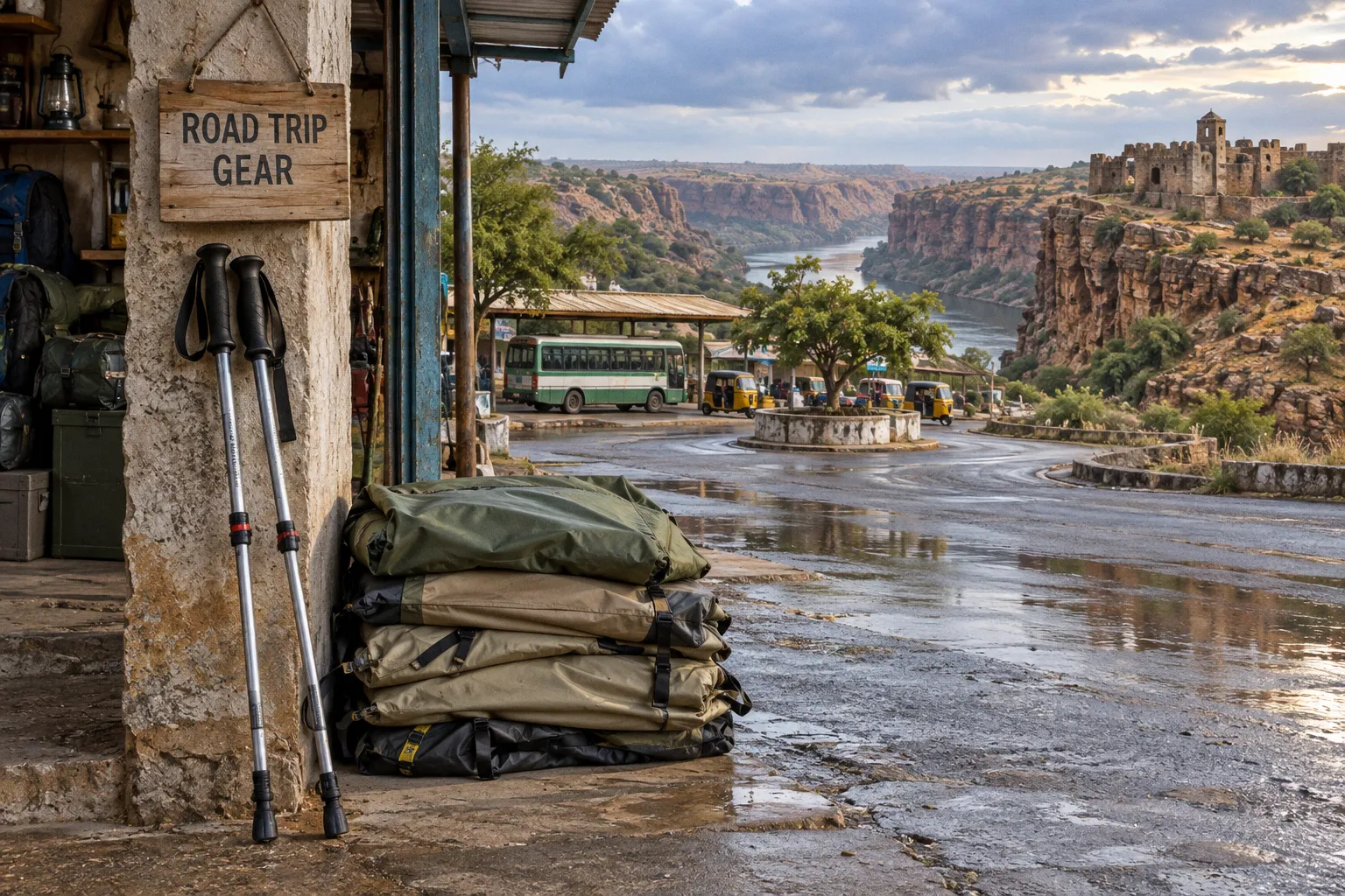
The last stretch toward Gandikota may look short on a map, but it calls for a different pace: fewer dependable stops, more village traffic, and less room to improvise if you have forgotten water or discover a problem with the car.
That shift is easy to underestimate after a fast run from Bengaluru or Hyderabad. A little preparation makes the difference between arriving ready for the canyon and spending the afternoon solving avoidable logistics. The useful question is not simply how far you have to drive, but what changes once you leave the main corridor.
Navigating the Rayalaseema Highway Network: From Expressways to Rural Roads
A drive through Rayalaseema is rarely one continuous highway experience. The main approach roads and the final connections to Gandikota and Belum Caves have different rhythms, and they reward different expectations.
From Bengaluru, travellers commonly use NH44 toward Anantapur before turning toward the interior. From Hyderabad, NH40 leads toward Kurnool and onward to the region’s sightseeing circuit. From Chennai, the journey heads inland via a combination of national and state highways. The exact route and travel time depend on your starting point, traffic, and the navigation app’s choice of roads, so treat estimates as planning aids rather than promises.
The main corridors are generally easier to drive and have more places to stop. On the rural approaches, the road may narrow, markings can become less useful, and traffic can include tractors, two-wheelers, pedestrians, and livestock. A village can arrive at the edge of the carriageway without much warning. Ease off when the road gives you less room to react; don’t wait for a signboard to confirm that the faster part of the drive is over.
Think of the approach as two different drives: the long highway leg, then a slower rural leg that needs more attention and a little more margin.
The route table below is best read as a broad orientation, not a promise of fixed distances or conditions. Your starting neighbourhood, chosen route, and destination within the Gandikota area can all change the totals.
| Approach | General character | What to plan for |
|---|---|---|
| Bengaluru toward Anantapur and Gandikota | National highway followed by regional roads | A clear transition from faster driving to a slower final approach |
| Hyderabad toward Kurnool and Gandikota | NH40 and connecting roads | Leave room for traffic and for the rural section after the main corridor |
| Chennai toward the Kurnool side | A mix of national and state highways | Check the route before departure and avoid assuming every stretch has the same services |
| Kurnool or Anantapur toward Gandikota | Rural roads, depending on the route | More village traffic, limited stopping options, and a slower pace |
Navigation apps are useful, but download the route before leaving reliable mobile coverage. A map can help with junctions; it cannot tell you whether a small roadside shop is open or whether a patch of road is comfortable to drive after dark. Keep the route available offline and, where the itinerary allows, aim to complete the unfamiliar rural part of the drive in daylight.
For vehicle readiness on rural Andhra roads, think beyond the dashboard warning lights. Check that the tyres, including the spare, are in usable condition; make sure you know where the jack and wheel tools are; and do not set out with the fuel gauge already low. These are unglamorous checks, but they give you more choices when the route becomes quiet.
Strategic Timing: Why November to February Defines Your Sightseeing Window
The best time for a Rayalaseema sightseeing circuit is shaped less by crowd calendars than by the amount of heat you are prepared to take. The region can be hot and dry for long stretches of the year, making a fort walk, canyon viewpoint, or exposed approach road feel very different in the middle of the day than it does in the cooler season.
November to February is generally the more comfortable window for outdoor sightseeing. Mornings and evenings are better suited to walking around Gandikota, while Belum Caves offer a more sheltered part of the itinerary. Even in the cooler months, carry water and avoid treating a pleasant start to the day as proof that the sun will be mild later.
March and the hotter months call for a more deliberate schedule. Get outdoor walks done early or leave them for late afternoon, and use the hottest part of the day for a drive, a meal, or a rest. If you are travelling with children, older adults, or anyone who struggles in heat, build in breaks rather than trying to fit every stop into one long stretch.
Monsoon travel has its own considerations. Rain can make steps and uneven surfaces more slippery, and conditions around a gorge or low-lying crossing can change quickly. Check local conditions before setting out, and be willing to change the day’s plan if rain makes a walk or road feel unsafe.
Choose dates for the conditions you want to explore in, not only for the weekend you can get away.
Accommodation needs planning in the same season when the sightseeing is most comfortable. Haritha properties and nearby stays have limited room availability compared with larger destinations, and demand can rise on weekends and holidays. Book ahead where possible, then confirm directly before you travel rather than assuming an old listing has the latest information. Flexible dates make it easier to choose a weekday or adjust the order of stops if your preferred room is unavailable.
Logistics of the Gandikota-Belum Corridor: Managing the 65km Stretch
Gandikota and Belum Caves are natural partners on a regional trip, but they are not next-door stops. The road distance is roughly 60–65 km, depending on the route and the part of Gandikota you are leaving from. Allow time for a drive that may take longer than the distance suggests, especially if you are unfamiliar with the roads or make stops along the way.
Jammalamadugu and Banaganapalli are useful route-planning reference points. Which one makes more sense depends on where you are staying and which way you are approaching. Instead of picking a route solely because it looks shorter on a map, check the latest directions, identify a place to pause for food or fuel, and avoid squeezing both attractions into a schedule that leaves no room for a late start.
The caves are a different kind of outing from the open viewpoints at Gandikota. The surveyed cave system is roughly 3.5 km long, while a smaller section is accessible to visitors. Even that visit involves walking through passages, negotiating steps and low ceilings, and moving through a humid environment. Give yourself time to go at a comfortable pace. People in the same group may find the stairs or enclosed sections differently demanding, so there is no prize for keeping up with the fastest walker.
Wear closed footwear with a steady grip, and take a small water supply for before and after the visit. A torch is sensible backup equipment: it can help you manage your own belongings or see clearly in a dim area, without assuming that the site’s installed lighting is unreliable. Follow the site’s directions and use the handrails where provided.
Treat Belum as a walking visit, not a quick stop: comfortable shoes, an unhurried pace, and time to recover afterward make the day easier.
Facilities around a remote attraction may be more limited than those in a town. Carry water and a modest snack from your starting point rather than counting on a particular shop being open at the cave entrance. Before you leave, check current opening arrangements and visitor information through a reliable local or official source; site details can change, and an old itinerary is not a substitute for confirmation.
Essential Supplies for Remote Andhra Pradesh: Hydration and Vehicle Readiness
The road trip supplies you need for the Andhra Pradesh interior are not complicated, but they matter most when you are between towns. Pack to cover the basics yourself instead of assuming that every stop will offer water, food, fuel, or a working card terminal.
- Water for the day. Carry enough for everyone in the car, with extra for walking and the cave visit. Heat and exertion can catch up with you even when the drive itself feels comfortable. Refill in a town when you have the opportunity, rather than relying on a last-minute stop near an attraction.
- Fuel with a margin. Top up at a larger town when the gauge is getting low. A rural route may have fewer dependable options than the highway, and opening hours can vary. If your route depends on a particular pump, check locally before you count on it.
- A usable spare and the tools to change a tyre. Confirm the spare is inflated and that the jack and wheel tools are present and accessible. If you are not comfortable changing a tyre, identify your vehicle’s assistance contact before leaving.
- Footwear and a torch. Closed shoes with grip are useful on uneven ground and steps. A small torch is a precaution for your kit, not a reason to expect a problem with the cave lighting.
- Cash and offline navigation. Keep some cash for small purchases or places where digital payment may not be convenient. Download maps before signal becomes patchy, and save the names of your accommodation and key stops.
- Sun and first-aid essentials. A hat, sunscreen, any personal medication, and a compact first-aid kit are worth having on a day with long stretches between towns.
| Supply | Practical approach | Why it helps |
|---|---|---|
| Drinking water | Carry enough for each traveller, the drive, and planned walks | Stops may be limited, and heat can increase the need to drink |
| Fuel | Refill in a larger town when convenient | Rural availability and opening hours can vary |
| Spare tyre and tools | Check them before departure, not at the roadside | A spare is only useful if it is inflated and the tools work |
| Torch | Pack one as a precaution | Handy for personal use in dim conditions or while sorting your kit |
| Cash | Carry a modest amount in smaller notes | Not every small stop will have reliable digital payment |
| Offline map | Download the route and save key locations | Mobile data may be patchy away from larger settlements |
Vehicle readiness is not a promise that nothing will go wrong. It is a way to avoid turning a small problem into a harder one. If the car is rented, ask the provider how roadside assistance works in the area and keep the contact details somewhere accessible, not only inside an app that may need a connection.
Plan to arrive at your accommodation before dark when the route is unfamiliar. That is sensible driving rather than alarm: it leaves more time to handle a missed turn, a slower road, or an unplanned stop without having to make decisions in low visibility.
Securing Accommodation in Underserved Regions: Haritha Resorts and Beyond
Accommodation around Gandikota is more limited than in a larger city, so the best option depends on what matters most: staying close to the canyon, having town services nearby, or making the night itself part of the trip.
The Haritha Resort at Gandikota is a convenient choice for visitors who want to spend more time near the gorge and less time commuting. Its location can make sunrise or an early start easier, but rooms are limited. Check availability directly and confirm the booking details before setting off, especially for a weekend or holiday.
Camping near the canyon can offer a memorable change of pace, but the word “campsite” covers different arrangements. Ask the operator what is included: meals, bedding, washroom access, and what happens if the weather changes. Bring an extra layer for the evening, and do not assume that a campsite will provide every item you would find in a hotel.
Staying in a gateway town such as Proddatur, Jammalamadugu, or Nandyal gives you more access to everyday services, including food and shops. The trade-off is the drive back and forth to the attractions. That can be manageable in the cooler months, but less appealing if you are returning after a full day outdoors. Choose the base that suits your route and energy, rather than treating the closest available room as automatically the best one.
| Stay option | What it offers | What to confirm |
|---|---|---|
| Haritha Resort, Gandikota | A base close to the canyon | Current availability, check-in details, and included facilities |
| Private campsite | An outdoor stay near the landscape | Meals, bedding, washrooms, weather arrangements, and transport |
| Hotel in Proddatur or Jammalamadugu | A town base with practical services | Distance to your planned stops and the return drive |
| Hotel in Nandyal | More town conveniences for some itineraries | Whether the location fits your route to Gandikota and Belum |
If your preferred room is unavailable, a town stay can still make a satisfying trip. It simply asks you to plan the driving day more carefully and leave enough time to get back without rushing.
Rayalaseema Region Travel Safety Tips Beyond the Brochure
The most useful Rayalaseema region travel safety tips are often the least dramatic: leave room in the schedule, keep the car prepared, and do not let a navigation estimate dictate your pace. On a rural road, a short distance can take longer than expected. A village crossing, a slow vehicle, or a brief stop can change the timing, so avoid building an itinerary that depends on every leg going perfectly.
For the evening drive, use the same judgement you would on any unfamiliar rural route. If you can, finish the more remote part of the day before dark. If a delay pushes you later, slow down, use well-lit places to stop where available, and let someone know your revised arrival time. Keep roadside assistance details and accommodation contacts saved offline.
Inside Belum, take steps steadily and stay within the route open to visitors. Humidity, low ceilings, and stairs make it worth paying attention to your footing. If someone in the group needs a pause, take one; a cave visit is not improved by turning it into a race.
Local advice can help with current conditions, particularly after rain or when you need to confirm whether a nearby facility is open. Ask at your accommodation or a local business, then use that information alongside your map and your own judgement. No single source, digital or human, can guarantee every road condition on the day.
The last stretch of a Rayalaseema drive is easier when the basics are settled before you leave: water in the car, fuel in reserve, a checked spare, an offline route, and a room confirmed for the night. That preparation does not need to make the trip feel cautious or overplanned. It gives you room to slow down when the road asks for it—and to arrive at Gandikota with attention left for the place itself.